
Resources for Local Communities and Governments
 Local Waterfront
Revitalization Program
Designated Waterways
Laws & Regulations
Consistency Decisions
Public Notices
Frequently Asked Questions
Contact Us
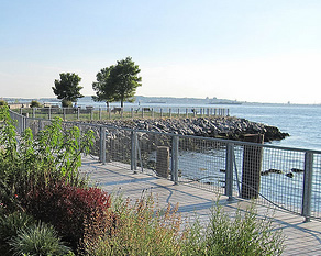
The Town of Red Hook Local Waterfront Revitalization Program is a locally prepared comprehensive land and water use plan for the Town's natural, public, and developed waterfront resources along the Hudson River.
The Town of Red Hook refines and supplements the State's Coastal Management Program and provides a comprehensive framework within which critical waterfront issues can be addressed, and planned waterfront improvement projects can be pursued and implemented. The approval history of Town of Red Hook LWRP was published in a final public notice.
The highlighted text is a download link for the fulll Town of Red Hook LWRP document.
The links below provide easy access to each part of the Town of Red Hook LWRP, as approved in 1995:
Introduction
Section I. Waterfront Revitalization Area Boundary
Section II. Inventory and Analysis
Section III. Waterfront Revitalization Policies
Section IV. Proposed Land and Water Uses and Proposed Projects
Section V. Techniques for Local Implementation of the Program
Section VI. State and Federal Actions and Programs Likely to Affect Implementation
Section VII. Consultation with Other Affected Federal, State, Regional, and Local Agencies
Section VIII. Local Commitment
Estates District Scenic Area of Statewide Significance
Ulster North Scenic Area of Statewide Significance
The Town of Red Hook, in partnership with the Villages of Red Hook and Tivoli, have recently completed amending the town's comprehensive plan and its zoning regulations to create a new agricultural business district to curb housing sprawl on rural and agricultural land and a new traditional neighborhood development district to encourage village-scale density where appropriate, as well as new open space incentive zoning.